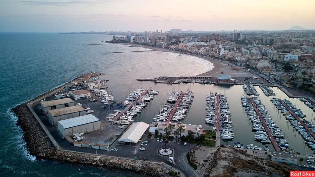
If you’re planning a trip to Spain’s Costa Brava, chances are Palamós is already on your list. Known for its fishing port, sandy beaches, and seafood (especially its famous prawns), this town blends history, leisure, and Mediterranean charm. But like any new destination, knowing your way around is key—and that’s where Google Maps comes in. Searching for “Palamós map Google” is the easiest way to explore the town, find hidden spots, and plan your route before you even set foot there.
Why Use Google Maps for Palamós?
A paper map can feel romantic, but it doesn’t update in real time. Google Maps offers far more than directions—it’s an interactive guide that works both online and offline (if you download the area in advance).
Here’s what you get by using Palamós on Google Maps:
- Street View access: Wander virtually through Palamós’s narrow old town streets.
- Walking and driving routes: From the marina to Cala Margarida beach, you’ll never be lost.
- Local business info: Restaurants, tapas bars, and seafood markets are pinned with reviews and photos.
- Transport details: Find bus routes to nearby Girona or Calella de Palafrugell.
- Saved lists: Star places like Platja Gran or Museu de la Pesca for easy retrieval later.
It’s not just a map—it’s a digital companion.
Top Spots to Pin on Your Palamós Google Map
When you open Google Maps and search Palamós, you’ll see a cluster of pins. To avoid overwhelm, here are the essentials worth marking:
- Platja Gran de Palamós – The main beach, wide and family-friendly.
- Cala S’Alguer – A postcard cove lined with fishermen’s cottages.
- Museu de la Pesca – Learn about the town’s fishing heritage.
- Port de Palamós – One of the most important fishing ports in Catalonia.
- Cala Margarida – A pebble beach tucked away from the bustle.
- Passeig del Mar – The seafront promenade, perfect for evening strolls.
Pro tip: Use the “Lists” feature in Google Maps to create your personal Palamós itinerary.
Offline Use: A Smart Move
Costa Brava’s coast has patchy mobile coverage. Before you go, open your Google Maps app, type “Palamós,” and download the offline map of the area. This way you can still access navigation, saved places, and your blue dot location—even without Wi-Fi or data roaming.
Driving vs Walking in Palamós
Palamós is compact. If you stay near the center, most attractions are walkable. Google Maps’ walking routes help you weave through the old town’s narrow alleys without confusion. If you’re driving, especially to nearby coves, expect limited parking. The map can point you toward public lots like Parking de l’Eixample.
How Tourists Actually Use Google Maps in Palamós
- Finding tapas spots: Search “restaurants near me” for real-time suggestions.
- Tracking buses: The Palamós–Girona bus is searchable within the app.
- Beach hopping: Plot multiple coves on your saved map for a smooth route.
- Cultural stops: Museums, churches, and viewpoints are marked with hours and photos.
Final Thoughts
Searching “Palamós map Google” isn’t just about finding your way—it’s about unlocking the town’s rhythm. Whether you’re beach-hopping, hunting for the best seafood, or wandering cobblestone streets, having Google Maps in your pocket makes the trip smoother. It blends the local pulse with the traveler’s needs.
FAQs About Palamós Map Google
1. How do I find Palamós on Google Maps?
Simply type “Palamós” into Google Maps’ search bar. You’ll see the town highlighted along Spain’s Costa Brava coast.
2. Can I use Google Maps in Palamós without internet?
Yes. Download the Palamós offline map before your trip. You’ll still see routes and saved places even if your data signal drops.
3. What’s the best way to get directions in Palamós?
Walking is ideal within town. For nearby villages, use driving directions. Google Maps will also show bus routes to Girona or coastal neighbors.
4. Are restaurants and bars listed on Palamós Google Maps accurate?
Yes, most listings have updated hours, menus, and user reviews. Always check recent comments for accuracy.
5. How detailed is Street View in Palamós?
Street View covers central Palamós, the promenade, and some nearby coves. It’s perfect for previewing where you’ll walk or park.
6. Is it worth using Google Maps instead of a paper tourist map?
Yes. While tourist maps give an overview, Google Maps provides live navigation, real reviews, and offline use.
7. Can I use Google Maps to plan a day trip from Palamós?
Absolutely. Mark spots like Calella de Palafrugell or Platja d’Aro, then let Google optimize your route.
8. Does Google Maps show parking areas in Palamós?
Yes, many public parking lots and street parking zones are marked. Some include user reviews about pricing and availability.


